In South Dakota, habitat destruction has been the major reason for the population decline of both the Piping Plover and Least Tern. Construction of the Missouri River dams has resulted in the loss of much of their sandbar habitat. Those remaining sandbars are susceptible to human activities, predation, and water fluctuations as the result of dam operations. Also lost with the flooding of the bottomlands behind the dams was the cottonwood trees which grew all along the river from Nebraska to North Dakota.
During the 1860’s, Joseph LaRoche, a French-Canadian employee of the American Fur Company, had a wood yard on the island just above Hot Springs Island. Several steamboat logs mentioned that his establishment was located “five miles below the Brick Kiln.” It was known as LaRoche Island. It had also been known as Colomb’s Island or Colome Island and was located just above Snake Creek Ferry.
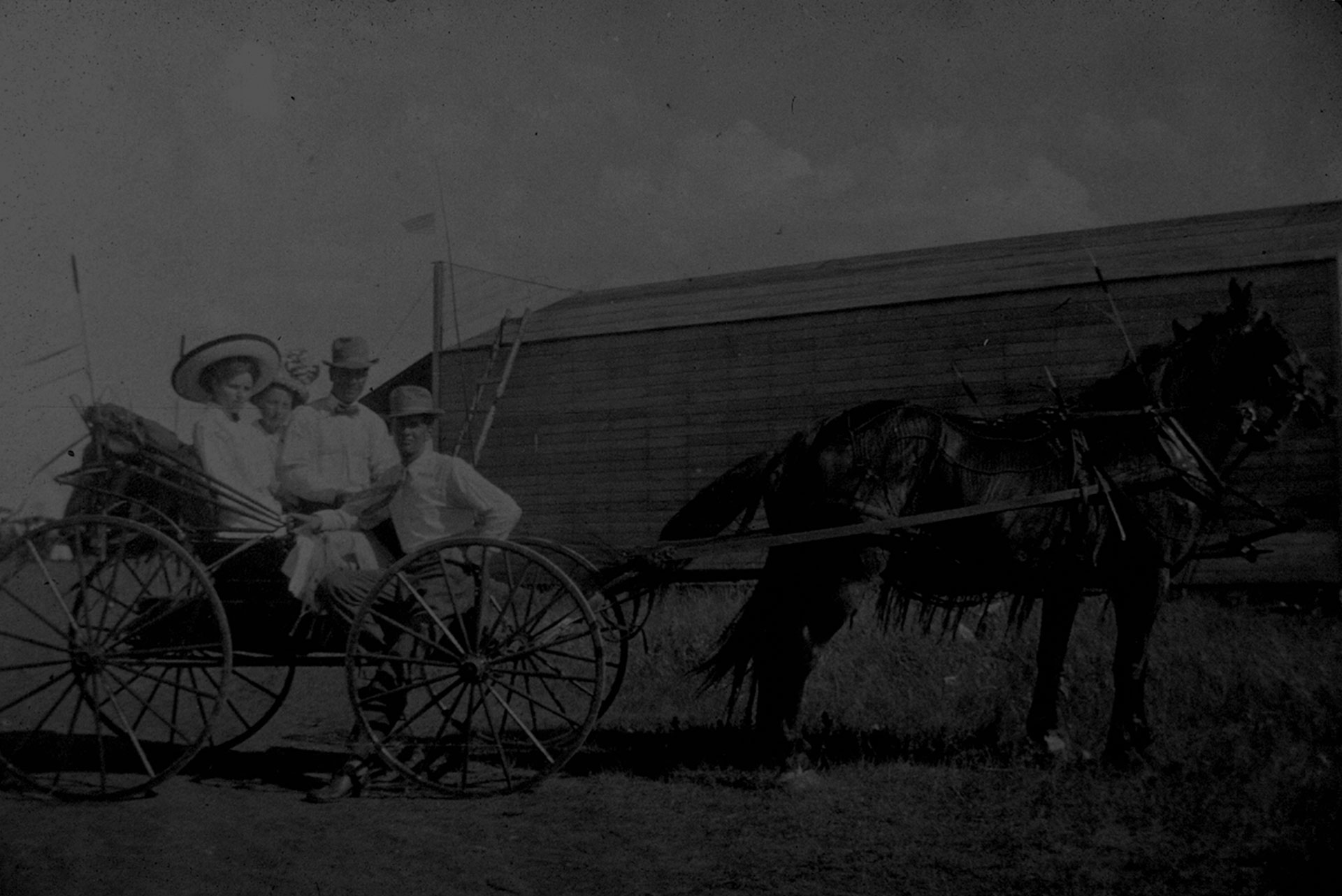
In February of 1911, a Gregory County homesteader by the name of Johnson saved himself from drowning in the river by driving his pocket knife into the ice. He had dismounted from his horse and started to lead the animal by the bridle toward the island.
At the south end of the three mile long island the swift current of the river swept around the point with such force that it kept an open space there all winter. When he came to the open place in the ice, he thought that it was water on top of the ice and walked into the river. He was able to keep hold of the reins and this prevented him from being swept under the edge of the ice to certain death.
Wrapping the bridle reins around his arm, Johnson, by desperate efforts, succeeded in getting his knife from his pocket. He was able to open the knife and plunged the blade into the ice and hung on for “dear life.” He called for help and persons nearly a mile distant heard his cries and hurried to his assistance.
Later that same year, July 5, the body of a floater was found on the shore at the north end of the island. The authorities from Charles Mix County were in charge of the investigation. There was absolutely nothing by which the remains could be identified. The deceased was apparently a young man and wore good clothes — a pair of pants, shoes, shirt, and a suit of union underwear. There was nothing in his pockets.
In the fall of 1913, there was interest in the possibility of utilizing Missouri River water to irrigate as much as one-tenth of the state as well as furnish commercial power. It was estimated that where the river was not more than one mile in width from shale bluff to shale bluff, it was feasible to dam the stream and create water power.
Just within South Dakota, there were twelve such possibilities and three of those sites were in the Gregory County stretch of the river. They were Fort Randall, Stony Point, and LaRoche Island.
Just above LaRoche Island in Gregory County was a prominent landmark in the steamboat days which reached seven hundred feet above the water. It was identified as Brick-kiln Rock and in some of the steamboat logs it was referred to as Brick Yard, presumably because of the predominantly reddish coloring.
Captain LaBarge, in the log of the Steamboat Campbell in 1863 wrote that the Brick-kiln “burned for three years, following twelve miles back from the river.” It was thought that the presence of coal or lignite accounted for this phenomenon.
Located at the mouth of Landing Creek (Rosebud Landing) was Durex Island which was identified on an 1884 map of Charles Mix County. It was also referred to as Hiram Wood Island, Desire Island, Troublesome Island, and Bijou Island by others.
The Springfield Times in 1879 reported that officials of the U. S. Land Office in Springfield had been instructed by the Interior Department to investigate timber depredations on the islands in the Missouri River. Hiram Wood Island was specifically mentioned as one which needed to be investigated.
To the frontiersmen pushing out onto the prairies who were accustomed to river travel, the wide Missouri River rather than the shallow un-navigable Platte was the obvious way west. The fact that it made a decided northward swing about two hundred miles west of St. Louis was not a deterrent.
This mighty river was not only the key to the mysterious and long-sought Western Sea, it was the royal road to riches through the lucrative fur trade. After 1806 when Lewis and Clark returned to St. Louis from the Pacific Ocean, its role as a major transcontinental thoroughfare was insured.
Soon trading posts began to spring up near every Indian village. Among the earliest of these was Bijou’s (or Louis Bisonette’s) trading post which was located across the river from the mouth of Landing Creek.
In 1812 Manuel Lisa led a trading expedition up the Missouri to a point just below the present North Dakota-South Dakota border. On July 21 the party stopped at Landing Creek where a house for Bijou, two hunters, and three partners was finished on the 24th. The post was abandoned in 1813.
“Bijou” was an alias for Louis Bissonet of St. Louis. He became one of the most trusted employees of the St. Louis Missouri Fur Company and remained in its service for many years.
